Sosta libera · Nella natura
Le Dévoluy - Unnamed Road
📍 Le Dévoluy💶 Gratis★ 5 ★ (3)
4 foto disponibili
Le Dévoluy - Unnamed Road è un sosta libera a Le Dévoluy. La sosta è gratuita. Il rating medio è 5.00/5 su 3 recensioni dei camperisti. Nei dintorni: Percorsi MTB, Partenza escursioni.
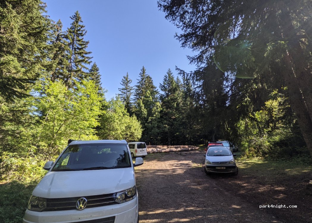
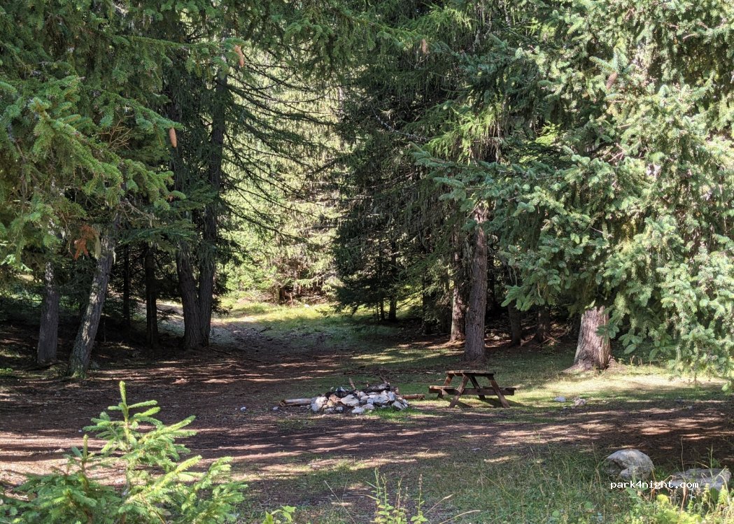
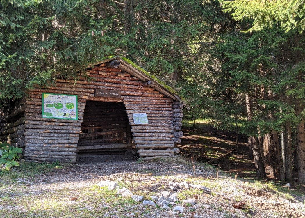
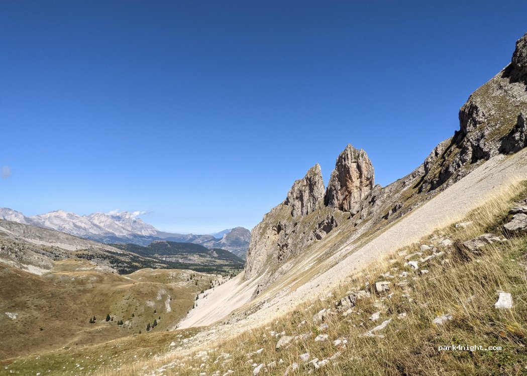
Cabane de l'Avalanche car park (altitude 1530m). Place in the middle of the forest, departure of several walks (chalet of the valley of Donkey, peak of Bure, crests of donkey...). From the start of the cable car, follow the steep road along the cables, cross to the pylon, then continue to the left on an irregular track. Light vehicle or van only. On site, flat area in the middle of the forest to park, small wooden shed and table/benches right next to it. Quiet and cool!
Servizi
Nessun servizio dichiarato.
Dettagli
- Prezzo di parcheggio
- Gratuit
- Numero di parcheggi
- 8
- Apertura/Chiusura
- Aperto tutto l'anno
Attività vicine
- Percorsi MTB
- Partenza escursioni
Posizione
Unnamed Road
05250 Le Dévoluy (Francia)
44.65581, 5.93803
Domande frequenti
Quanto costa sostare a Le Dévoluy - Unnamed Road?
La sosta è gratuita.
Si possono portare cani a Le Dévoluy - Unnamed Road?
Le informazioni sugli animali non sono dichiarate. Contatta la struttura prima di arrivare con il tuo cane.
C'è lo scarico camper a Le Dévoluy - Unnamed Road?
Lo scarico camper non risulta dichiarato. Verifica con la struttura.
Dove si trova Le Dévoluy - Unnamed Road?
Le Dévoluy - Unnamed Road si trova in Le Dévoluy, alle coordinate 44.65581, 5.93803.
Continua a esplorare
Spot vicini entro 25 km
- Sosta libera · Le Dévoluy
Le Dévoluy -
Gratis 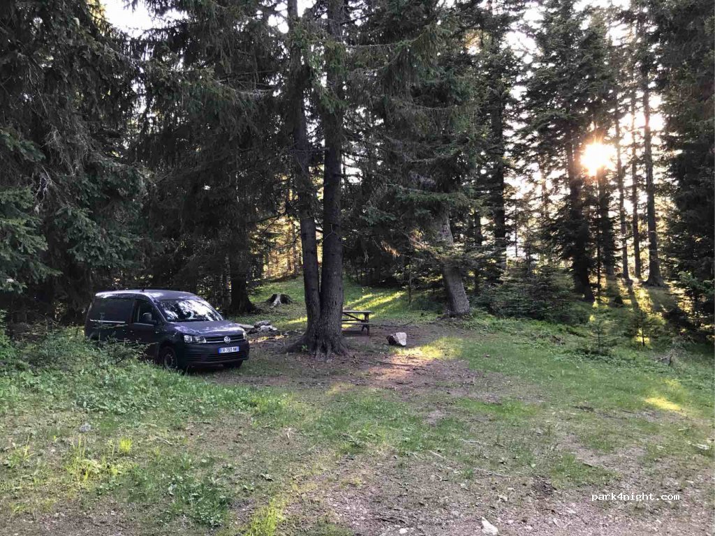 3.8 ★Sosta libera · Le Dévoluy
Le Dévoluy - Unnamed Road
Gratis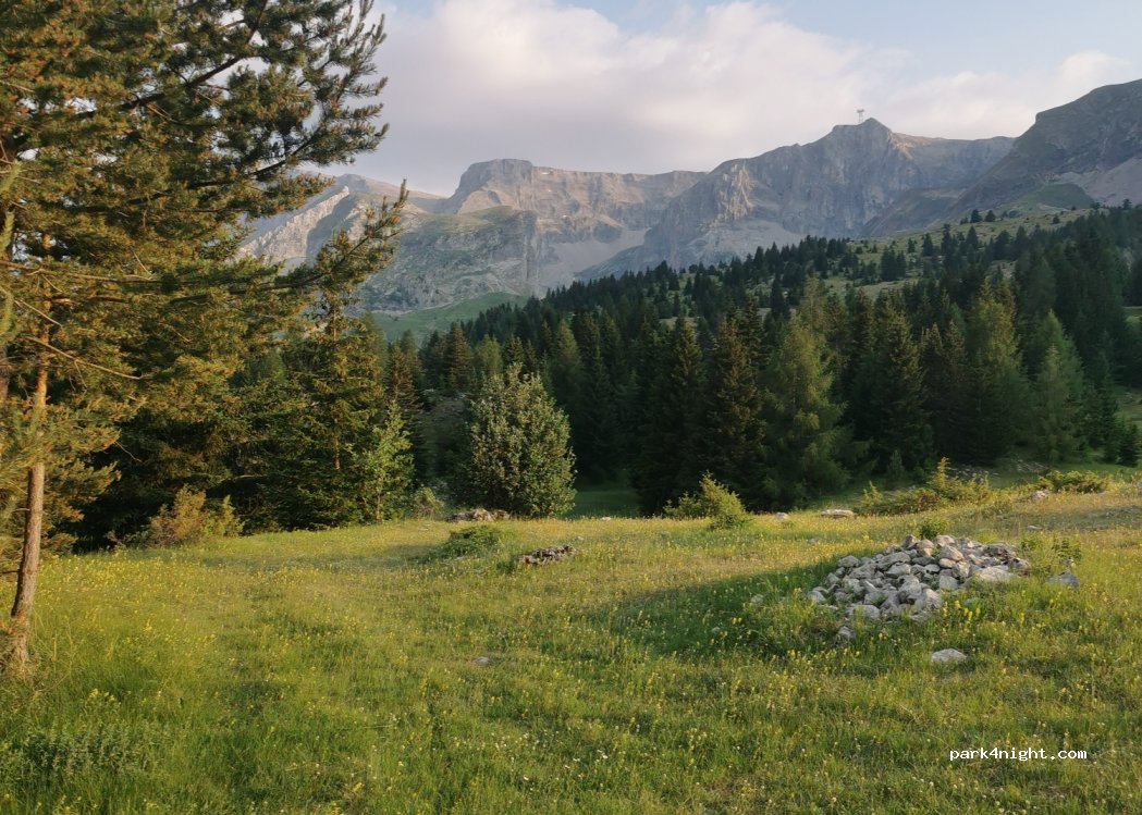 2.7 ★Sosta libera · Le Dévoluy
Le Dévoluy -
Gratis Sosta libera · Le Dévoluy
Le Dévoluy - 1 Chemin de Pré Grand
Gratis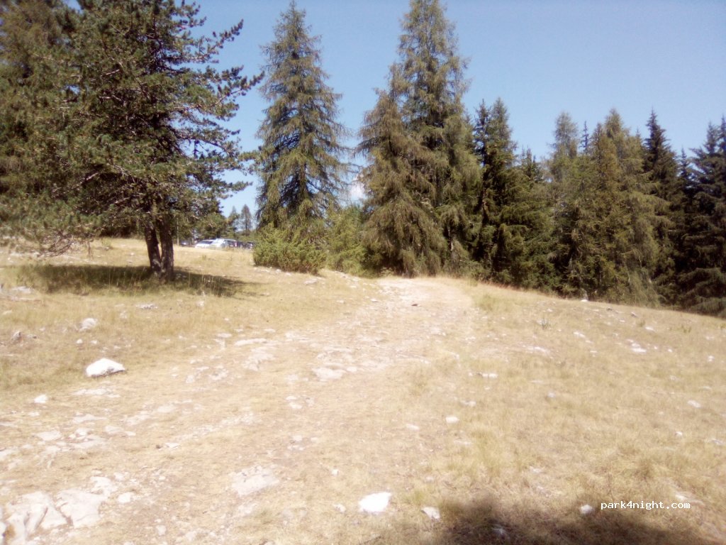 4.1 ★Sosta libera · Le Dévoluy
Le Dévoluy - La Chardonnelle
Gratis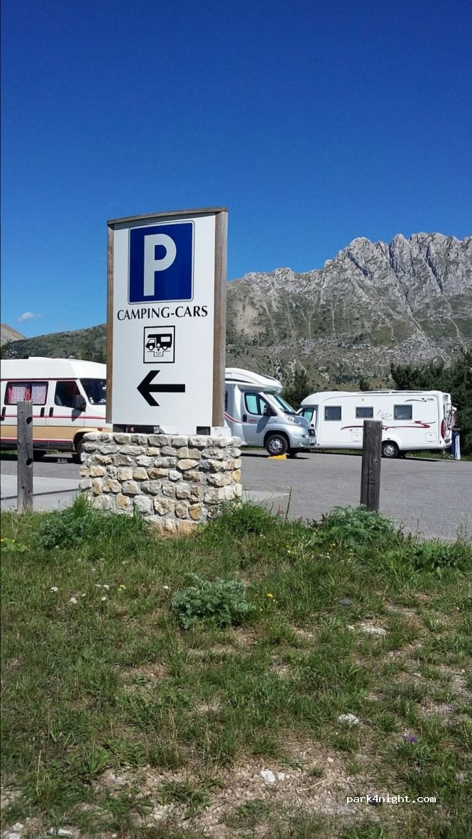 3.7 ★Sosta libera · Le Dévoluy
Le Dévoluy - Super Dévoluy
Gratis
Sei il gestore di Le Dévoluy - Unnamed Road?
Aggiorna gratis prezzi, foto e servizi e ricevi il badge "Consigliato".